Monday, April 30, 2012
Maps!
My wife suggested that a map displaying my progress would be a great addition, so I've added that to my previous posts and will be do so in the subsequent ones as well.
Sunday, April 29, 2012
Hike 3 - Section #2B & #3
 Saturday, April 28 - It was going to be another crazy busy weekend anyway. The yard work is piling up, waiting to be done. But it is such a beautiful day. Maybe there's some way I can squeeze in a hike. Alex and Cassandra said they "needed to get out", so that's another good reason to take a hike. But considering Cassandra's 30 weeks along, we'll have to have a short hike for her and a longer one for us. That means 3 spots for shuttling, most easily done with 3 cars, but we can make it work with 2. Then at the last minute, to make our lives easier, Dave Leary calls and is in for the hike, too. God provides! But of course, I'm LATE again; we start hiking about 2:17pm.
 |
| We're ready to go at Russell Hill Road. |
 |
| We crossed this brook - very pretty. |
 |
| Just after crossing Rt. 12, we stop at the Philip's Brook bridge, headwaters of the Nashua River. |
 |
| Dave cleans up the woods as we go along. |
 |
| Finally a gentle downhill grade, Cassandra in the lead just before her stopping point at 3.59 miles. |
 |
| Muddy Pond just as we're reaching the campsite area. |
 |
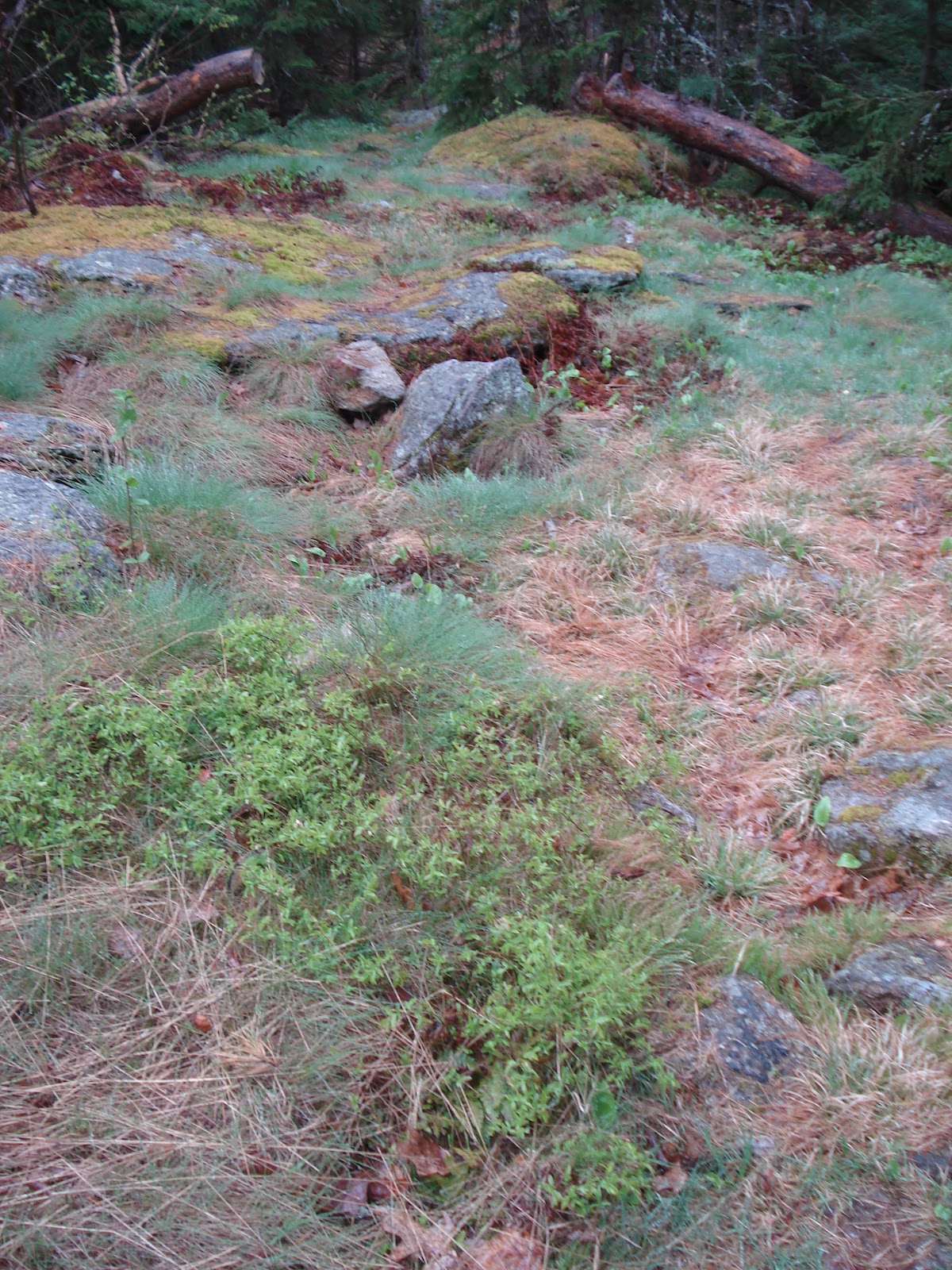
| Thank you for an excellent trail improvement (and saving our boots from getting soaked). |
 |
| Hiking through the Westminster Conservation Commission land. |
 |
| Nice view from under the power lines. Look at that beautiful blue sky. |
 |
| Another great view of Mt. Wachusett in the background. |
 |
| Destination for today just before the Graffiti Bridge. |
Sunday, April 22, 2012
Hike 2 - Section #1B & #2A
 Today is Earth Day (Sunday, April 22). What better way to celebrate than to get outside and enjoy God's creation! I sent out invites, but unfortunately nobody was available to join me today. Nonetheless, I decide that's not going to stop me. The weather forecast is for lots and lots of rain to start steadily later in the afternoon. I want to try and get my hike in before it gets bad. After all, it could be worse; they are going to get a FOOT of SNOW at Cassandra's parent's house in western Pennsylvania.
I decide to start my hike where I left off last time, where the Mid-State crosses Rt 119 in Ashburnham. I go by way of Ashby and once again am fooled into thinking that Ashby is not that far from Leominster and that it won't take me long to get there. Right! To make matters worse, there are Sunday drivers out on Ashby State Road. Augh! I arrive at my starting point later than planned, AGAIN. I start my hike at 1:16pm, mile marker 1.21.
 |
| Just starting down the trail. The Mid State is co-incidental with quite a few roads. Note, jacket on , light mist falling. |
 |
| OK, I'll take the risk. |
 |
| There were *so* many shades of green today, the camera doesn't even capture it.. |
 |
| At the top of Blueberry Hill, 1473'. Looks like they're doing logging here. |
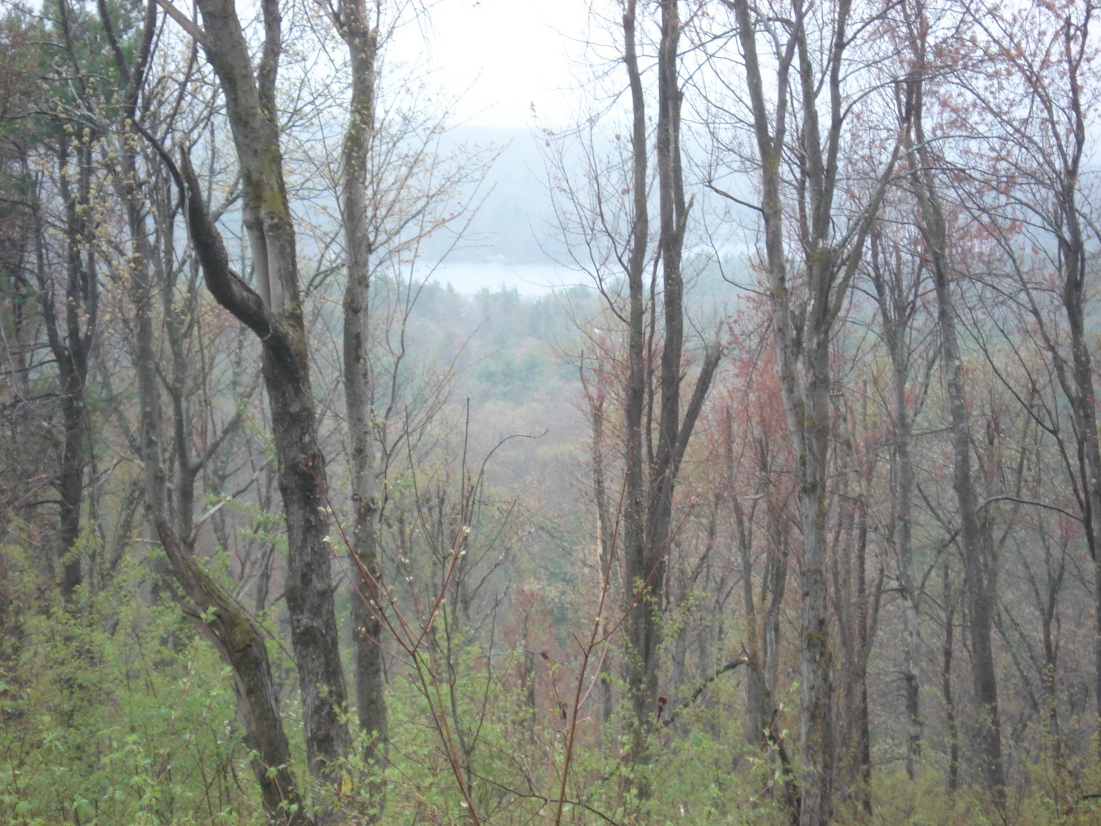 |
| My first look at Winnekeag Lake. |
 |
| Camp Winnekeag amphitheater. Note, poncho on now. |
 |
| Lake Winnekeag. This was my planned stopping point, but I'm on a roll, so I continue. |

 |
| At the top of Mount Hunger, 1450' with Stodge Meadow Pond in the background. Note, poncho hood is now up. |
 |
| The long stone wall on the way down from Mount Hunger |
 |
| Why did the wild turkey's cross Russell Hill Road? |
 |
| James & Chris wanted to come, but settled for picking me up and shuttling me back to my car. |
I exit the trail at mile 6.33. Mileage today is 5.12 miles in 1:50.
Sunday, April 15, 2012
Hike 1 - Section #1A.
 So on April 1st, the rest of my family is out of the house at show rehearsal. It's cloudy and a bit cool, but not a bad day to get outside and get some exercise. I send a quick note to my friends to see who's available. Tom, Amanda, Aaron, and dog are up for a little walk, so I drive to the wilds of Ashby to join them. We start Section#1 at the north end of the trail in Ashburnham. Up and over Mt. Watatic to the New Hampshire State Line, then an alternate trail back to the parking lot. If a picture's worth a thousand words, here are several thousand for your enjoyment.
 |
| Aaron on our ascent. See the "Yellow Triangles". |
 |
| I didn't event notice the dog getting into the picture. |
 |
| Break for water before another climb. |
 |
| At the summit. |
 |
| Mt. Wachusett. You can still see snow on some trails. |

 |
| End of the line. Another meter and I'm in New Hampshire. |
 |
| Ok, so we couldn't find a flat rock to place the camera on. |
 |
| Trail markers. |
 |
| Alternate return. |
 |
| "Baby Girl" led most of the way. |
 |
| Back in the parking lot. |
The total hiking mileage today was about 3.5 miles (see http://www.newenglandtrailreview.com/singlemappage.asp?TID=156), however, the Mid-State hiking guide only gives us credit for 1.06 miles. Oh well.
The Goal is Set!
This year I have set a hiking goal for myself. I have been trying to do it for several years now, and although I have made some hikes with the Worcester AMC, I have not come close to achieving it this milestone.
This year I am going to hike all 17 segments of the Masschusetts Mid-State Trail. If I do it all in one season, I can even get a patch. Alright, you know it's a little bit of a checklist thing with me, but hey, it works.
Subscribe to:
Posts (Atom)