The last time we were out hiking, Hurricane Sandy was just starting to swing into New England. This past week, we had another strong nor'easter hit us. Geez, it's only November! Up in North County, we only got about an inch of snow, but in the southern part of Worcester County, they got quite a bit more. Apparently, Southbridge (only 1 town over from where we hiked today) hit the jackpot with 9" of snow earlier this week. I never thought I would be doing any of this trail in the snow!
Instead of hiking my planned 10 miles today, I opted to walk with Betsy, Cassandra, and Dominic doing about half that. Once again, it is a beautiful day to hike, so the leaves will just have to litter my yard for another weekend.
One of the challenges today was that fact that the trail maps from the "old" and "new" Mid State trail guides differed. I assumed, of course, that the newer guide would be correct, but in fact, that map was
not correct. Use the map from the older trail guide to get it right. Moreover, signage in the section around the quarry was poor. Trail markers were so far apart, we almost made a couple of wrong turns.
 |
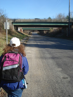
| Betsy drops me off just above the "cow tunnel" in Charlton, then drives to the segment mid point. |
 |
| Oh my! Where's the trail? It's under there somewhere. Fortunately, trail markers were plentiful here. Look carefully; there's one on the tree directly in the center of the photo. |
 |
| Amazing, this pond already has a layer of ice on top. |
 |
| Cassandra, Dominic and Betsy join me along the road. |
 |
| Maybe we should have brought micro-spikes. |
 |
| The trail guide says "one of the prettiest sections of the trail". This was absolutely true. This beautiful babbling brook accompanied us as we walked down a long hill. |
 |
| Then this big mountain of rock appeared out of nowhere. We also saw monster trucks as we passed by this quarry. |
 |
| A cool pedestrian bridge over another stream. |
 |
| Suddenly, the trail ended and there was our car. As I mentioned above, the "new" map is wrong, so our time estimates (based on mileage) were all wrong. We still had some energy, so Cassandra and I walked another 0.8 miles to Main Street in Oxford while Betsy & Dominic drove down the road to pick us up. |
 |
| Dominic was helping Betsy to read the map. |
 |
| We saw these two hikers twice, hiking the other direction. Strangely enough, I have seen very few other hikers on my entire trip down the Mid State. Sorry to say, I did not get their names, but it was nice meeting and chatting with them. Walk on! |
I started hiking at 12:20, and despite the snow (which slowed us down a bit), we finished walking at 2:45 for a total time of 2:25. Even though both maps were different, the mileage shown in them was the same, so I will say that today's total mileage was 6.42, but it certainly felt like a bit less.


