It is very, very cold today. It would be a good day to go skiing if it wasn't a Saturday. There's still a couple of inches of snow on the ground at home so it would be a good day to go snowshoeing if my snowshoes weren't broken or in the shop. So I decide it is a good day for a winter hike to try and check another Trustees property off my list.
The objective today to get out, hopefully avoiding people and references to Covid-19. If I go east, there will be more people, so I'll head west. I decide on Bear Swamp out in Ashfield, MA. The most recent snowstorm had us here in Central Mass as the "sweet spot" of the storm, so I expect there might be a little less snow where I'm going. I take my micro-spikes just so I am prepared.
Here's the temperature when I'm getting out of the car: 13 degrees ...
... and here's the property. Wow! That's more snow than I was expecting.
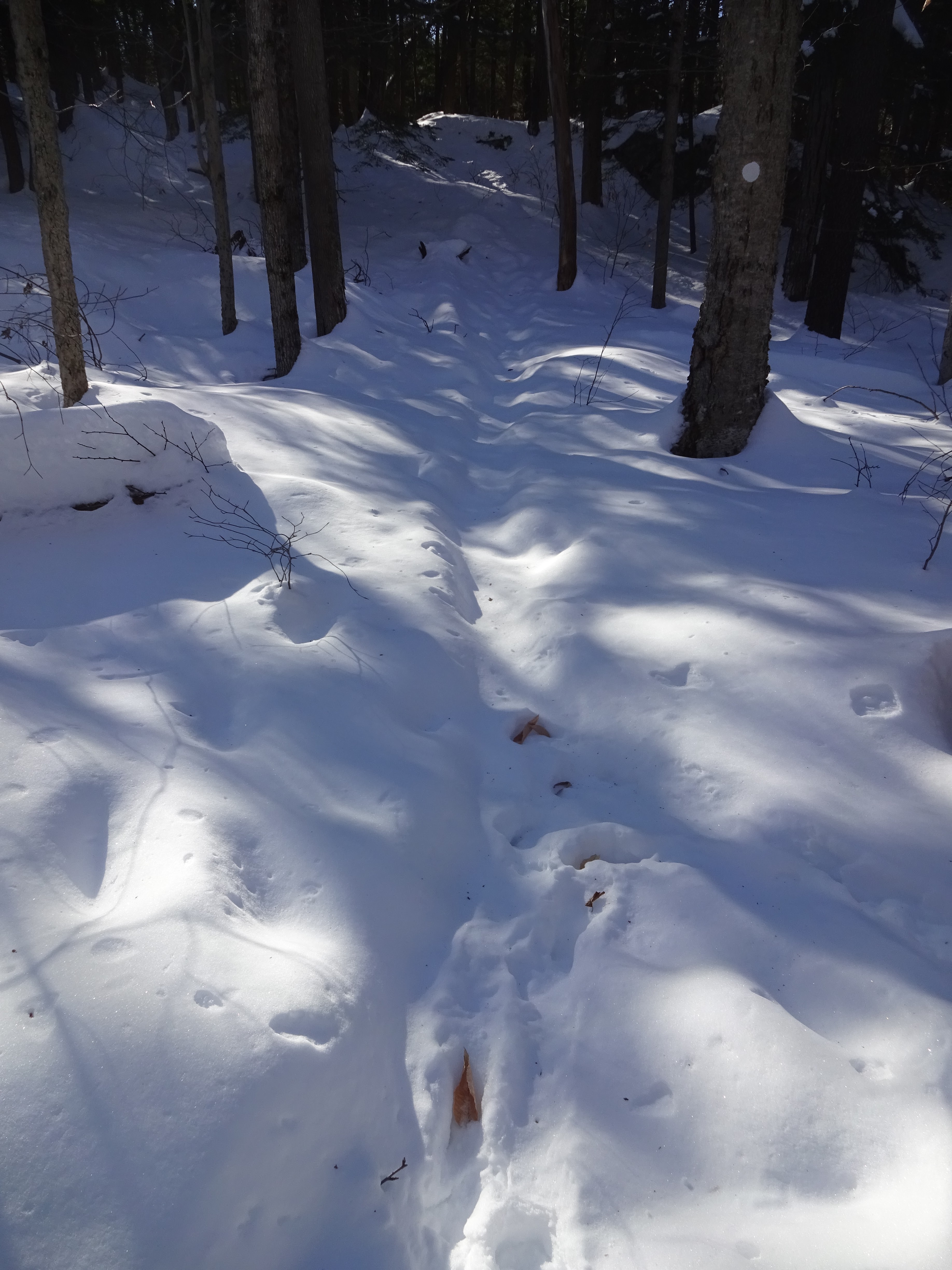
I know this picture at left is sideways (it was an accident); however, it has one of the best views of how narrow the "packed" part of the walking trail was. The picture at right gives you a sense of the depth of the snow.
I wouldn't want to be climbing up the rocks on the left, and fortunately, the trail is leading around them.
This is the northern terminus of the Lookout Trail. If I try to cross this field, my boots will "post-hole" into the snow.
Looking toward the north, an apple orchard can be seen in the valley.
The signage on the property is pretty good. The trails were well marked. I checked the map to see if there was an alternate way back, as I had experienced quite a few ups-and-downs getting to this point (see elevation profile at bottom). The path shown in the right photo was another way around, but because it looked like it hadn't been trod in a while, I decided to find another route.
The alternate way back means I won't have to climb up here.
Once back to the car, I check the time and mileage and decide that I should explore a little more of the property. Across the street from the entrance is another trail leading to this vista.
Looking off the northwest, I can view the same apple orchard that I saw earlier.
Beautiful Sunshine!
The distance today was only 2.7 miles with 413 ft of elevation. Still, it was exhausting. So the thing about winter hiking is this: it's not about the distance, it's about the calories.
Often, on the January MLK holiday, you will find me out in the woods for a snowshoe adventure. This year, that activity wasn't possible for 2 reasons: 1) both my pairs of snowshoes are unavailable due to being broken and 2) there's no snow. None. The little that was left was washed away by this past weekend's rains. The good news about my 30" snowshoes is that even though I bought the back in 2003, they carry a lifetime warranty. Now I just have to wait for the Atlas Snowshoe Company to get some stock (customer service said they are completely out of stock due to more people staying at home this year). My 25" snowshoes are in the shop in Milwaukie, Oregon undergoing repair. You'd think there'd be a place closer to home for this, right?
Today's activity will be hiking. Betsy is otherwise occupied on the last day of a 3-day virtual workshop, when means it will just be me out in the woods. There's a Trustees property that I've been wanting to go to for some time, but since it's kind of out of the way, we just haven't made it out there yet. The destination is Rock House Reservation in West Brookfield, MA. I'm betting many of local friends don't even know where that is. Suffice it to say, it's out there a ways.
While not a huge property, there are quite a few trails covering the interesting landscapes here. I wound up covering quite a few of them.
It is actually a very nice winter day. Temps in the mid-30's and the sun in shining.
Here's a winter view of the "Rock House". It sits overlooking a pond. It's mostly frozen since its average depth is only 3 feet. The large boulder right in the middle of the pond gives a hint as to what I will be seeing today.
Holy Mackerel! These are some BIG boulders.
It's a short climb up to the House itself. Inside, there are some interpretive posters explaining some of the geology and history of this area.
Here's a view of the pond looking back down toward my starting point. I think this would be pretty in any season.
Look carefully and you will see a small boulder balancing on top of this other very large rock. On Wachusett Mountain, we have our own version of this "Balance Rock."
While dropping a layer, I thought I would show off my new "YAY ADVENTURE" patch that Matt & Becky had made for me.
I decide to check out the Summit Loop trail, only to find a part of it actually un-hike-able at this time.
These pics are amazing. Almost artistic, with Mother Nature as the artist. On the left, clearly there was a very strong wind that caused these trees to become uprooted and lean just so far. The fact that they're at the same angle is what caught my eye. On the right, a tree is caught in the branches of another tree, but it was so rotted the bottom literally fell off.
My hiking path turns out to be a bit of a figure-8 so here's a shot of me just below Balance Rock again.
The distance was not long today; only 2.74 miles with an elevation gain of only 456 feet. My hike lasted 1:18, but it was a beautiful day to be out. Best of all, I've checked off one more property in my Trustees book.


