Kathy & Tony are in town visiting for the Columbus day weekend and Kathy has brought along her hiking boots. So guess what we're doing?
Alex and Cassandra's new house is literally
across the street from the Midstate trail, so it seemed like a no-brainer to start from there and take a little jaunt over Crow Hills down to Redemption Rock. That said, I kind of forgot how much elevation gain/loss was involved with traversing the Crow Hills. Fortunately, we were not out to set a record pace, but rather to have an fun family adventure.
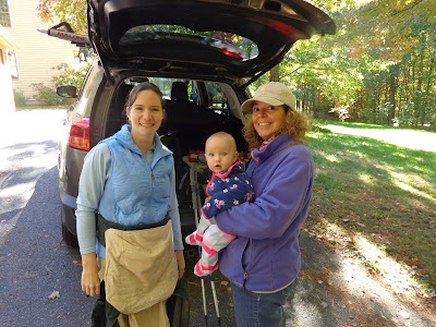 |
| Catherine is ready hit the trail with Mommy & Grammy. |
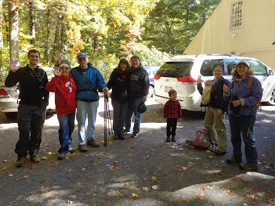 |
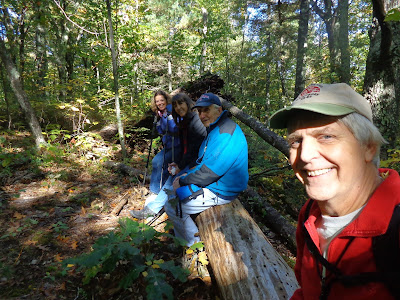
| Just before we step off, I snap a photo and ask everybody to wave. |
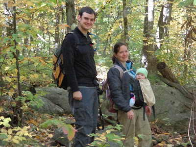 |
| Catherine was awake for most of the hike. So much to see! |
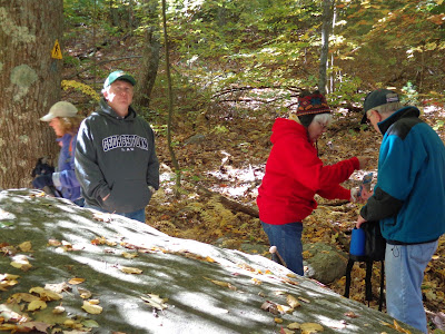 |
| We take one of our many sight-seeing breaks while grabbing a snack. Grandma has a ski-hat on, even though it's comfortable in the mid-50's. |
 |
| Betsy said this log was at the prefect height for a seat. |
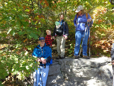 |
| Four generations on this hiking adventure. |
 |
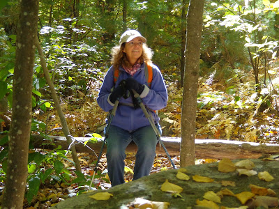
| A very pretty view, with just a splash of fall color amidst a sea of green. |
 |
| From this outcropping on Crow Hill, you get a nice peek of Mt. Wachusett in the distance. |
 |
| With about 3/4 of a mile to go, we find another seat-height log on the uphill path. |
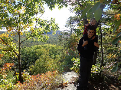 |
| Dominic hiked almost the whole way, but need a little boost toward the end. |
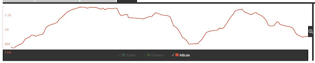 |
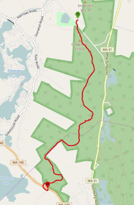
| Here's our elevation profile. The flat part was the picnic tables past Crow Hills. I had no idea that it climbed up that high again on the way to Redemption Rock. |
We made it to the car in 4:00 even covering a distance of 3.22 miles. We ascended 767 vertical feet and came down 697 feet. The downhill plunge after Crow Hills was by far the most challenging section. The mountain laurel on the trail above the cliffs was particularly thick making the trail area pretty narrow. However, I usually hike this section in the spring, compare
here.
After finishing that, Tony & I went another 1.05 miles in 23 minutes and met the van at the base of Wachusett Mountain Ski Area. That was a brisk walk at an average of 2.61 mph.
We didn't anticipate being out for 4 hours, but everybody survived and we enjoyed a beautiful fall day.
 The Nashua River is my home town river. It passes right by the bottom my street, Johnny Appleseed Lane, here in Leominster. It is traveling south at that point, but turns around to head north when it meets up with its southern branch in South Lancaster. From there it continues a northerly journey through Massachusetts towns in Worcester and Middlesex Counties until it finally flows into the Merrimack River in Nashua, NH. Besides the local stories that we know about the river, much can be learned from a paddling guide I used on this trip available from the Nashua River Watershed Association.


