It's time to buckle down and finish up my North-South Trail hike in Rhode Island. There are almost 14 miles to go, but I've decided to break it into two separate outings. Ideally, I would like to find a hiking partner, but at a minimum, I need some help shuttling the car. This stretch will be a little over 8 miles, a great warm up for hiking season. Luckily, Tom was available to hike (and he likes to drive), so that made things easy (and more enjoyable).
It rained last night, so there is some residual overcast today, but the temps are predicted to be ideal, around 60 as the weather improves from northwest to southeast. I had to do some careful planning time-wise, because at the end of the hike, I will get Dominic for the rest of the day while his parents take in a concert at Providence College.
 |
| Tom & I drop my car at where Brian and I finished last fall. We start hiking at 10:45am. |
 |
| The trail first took us into the George Washington Wildlife Management Area. Within it was the George Washington Campground. The camping sites are refreshed and ready for the season. The sites were spacious and were not on top of one another. It would be a nice place for camping. |
 |
| Along the camp road, there was this building site. It looks like they are building a new bath house or lodge. Unfortunately, at this point, we got caught up chatting and looking around, so we missed our turn and walked an extra 1/4 mile down the road before we realized we were off the trail. |
 |
| We returned to find where we lost the trail (just past the building site). It led down away from the road to a beautiful lakefront with a beach. |
 |
| Just past the beach, the North-South Trail joins the management area's Walkabout Trail The Walkabout Trail is a loop trail consisting of 3 branches of varying length and color (1.73mi, 4.86mi, 7.83mi). |
 |
| Here's just a couple of the glacial erratics along Walkabout Trail orange/red/blue. |
 |
| We also passed a lot of pretty ponds. With no leaves we could actually see them easily. |
 |
| As you can see, we've left behind the orange and blue branches of the Walkabout Trail. |
 |
| This was one of the easier streams we forded. |
 |
| It's my turn to be in a picture with a pond. |
 |
| This is the earthen dam holding that pond shown above. The water seeps by, but lucky for us, we can walk across these beams to the top of the dam for a nice lunch break. |
 |
| This feature we couldn't quite figure out. It looks like a foundation filled with water, but it also has an exit for the water, almost as if it was designed to hold the water. In the reflection, you can see we've finally gotten our blue skies. |
 |
| This obviously was just somebody having fun making cairns, as the trail really doesn't need them. |
 |
| Just a little road walk and we're back at Tom's car. |
Today's hike had a higher trail-to-road ratio than any other section of the entire trail thus far. Only the last mile was on-road. In addition, there was considerable elevation loss/gain, especially for Rhode Island. Consequently, my time estimate for the hike completion was a little off. Nonetheless, we did hike 8.22 miles in 3h17m meaning we still averaged over 2.5 mph including breaks. This was actually the shortest section I've done on this entire trail, but by no means the easiest. After driving back to pick up my car and my grandson, we headed home.
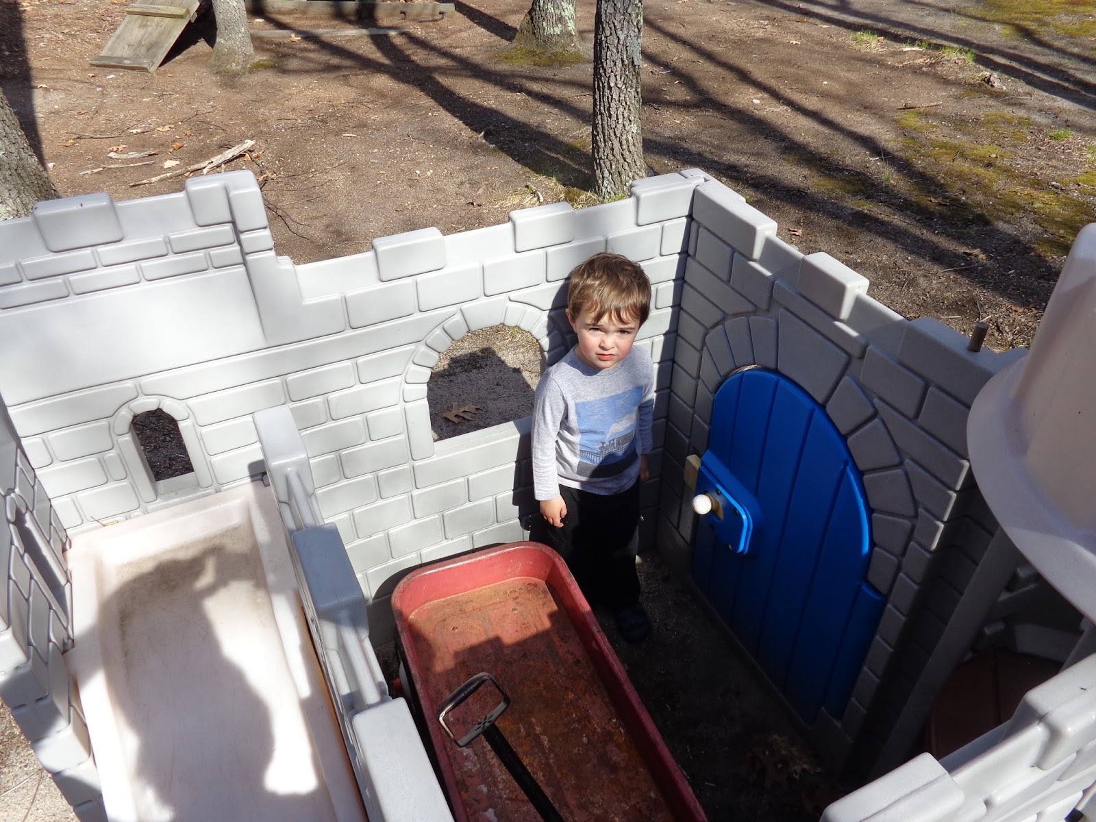
 |
| He kept me busy the rest of the day. How exactly did he get that wagon in the castle anyway? |
Then next hike will be the final one for this trail. Join me if you can.