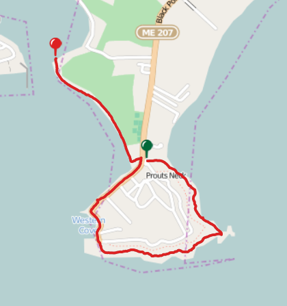
Matt & Becky are visiting for the Labor Day weekend and wanted to get out for a hike. Let's pile everybody in the mini-van and head up to Maine! Rather than visit the famous (crowded) cliff walk in Ogunquit, Matt found a equally beautiful one in Scarborough.
While we missed Cassandra and Alex most of the day due to some health issues, we did our best to enjoy a day by the sea.
This short hike was a shuttle. Betsy dropped Matt, Becky and me off near the Black Point Inn to start.
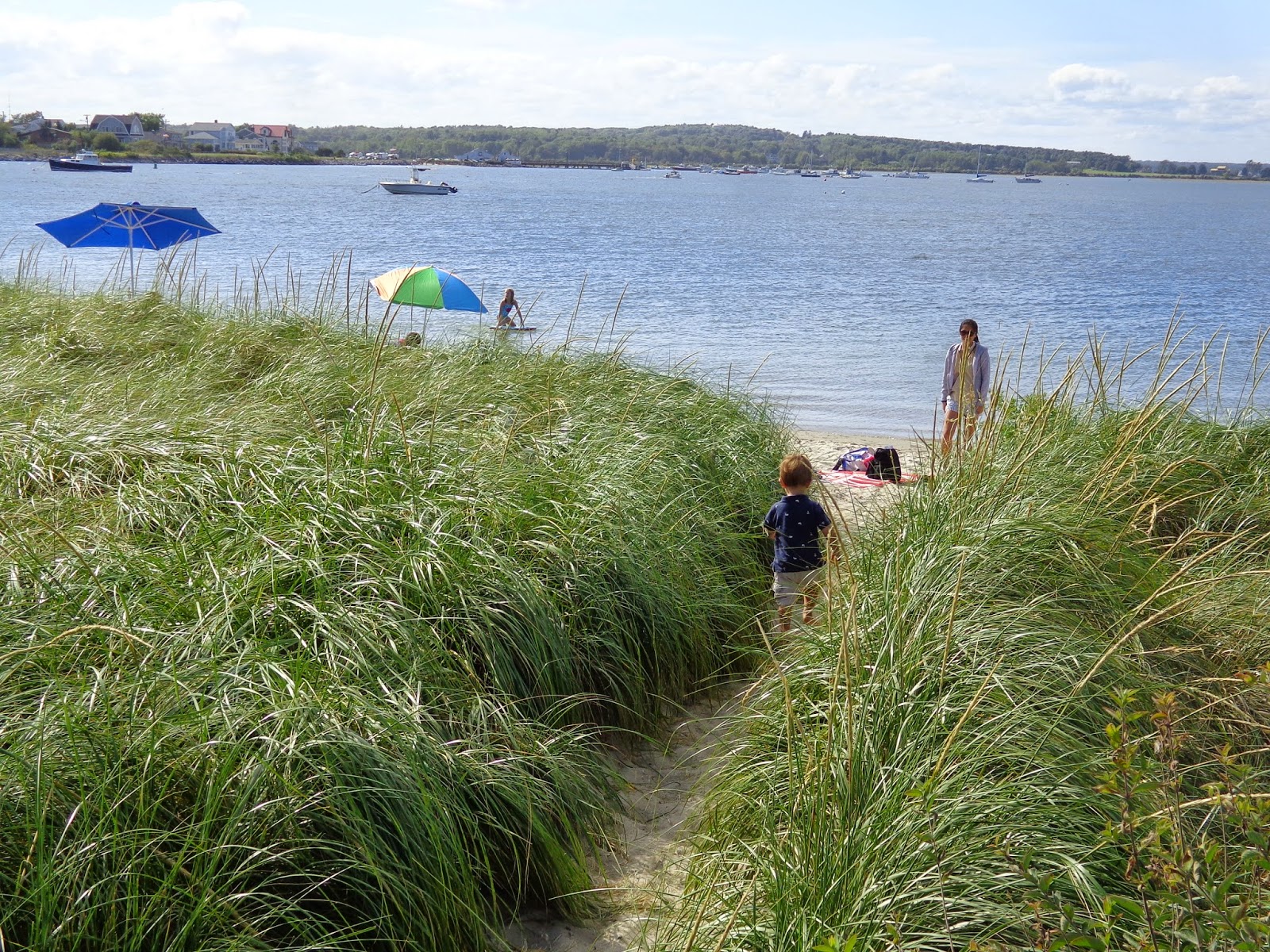 |
| But first, Dominic finds the beach amid grasses much taller than he is. |
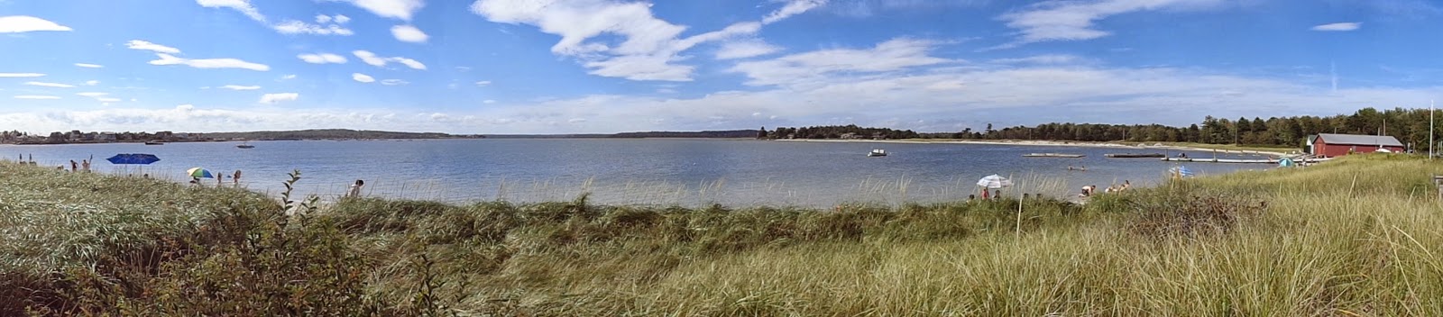 |
| A beautiful stretch of beach where the Scarborough River empties into Saco Bay. |
 |
| A classic white picket fence near the beginning of the hike looking northward into the bay. |
 |
| This is NOT somebody in our party. |
 |
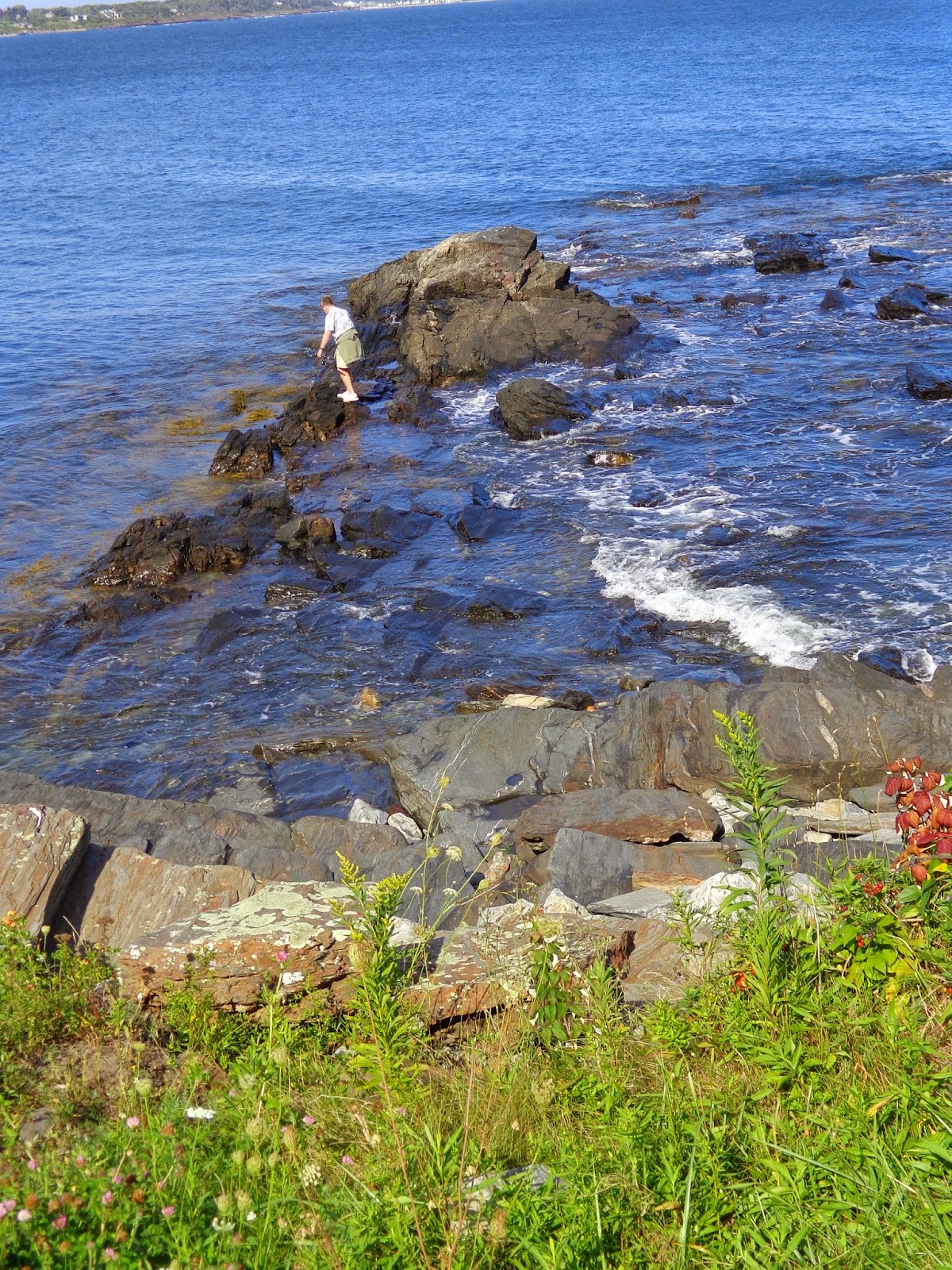
| I know the tide is low, but he might want to be real careful. |
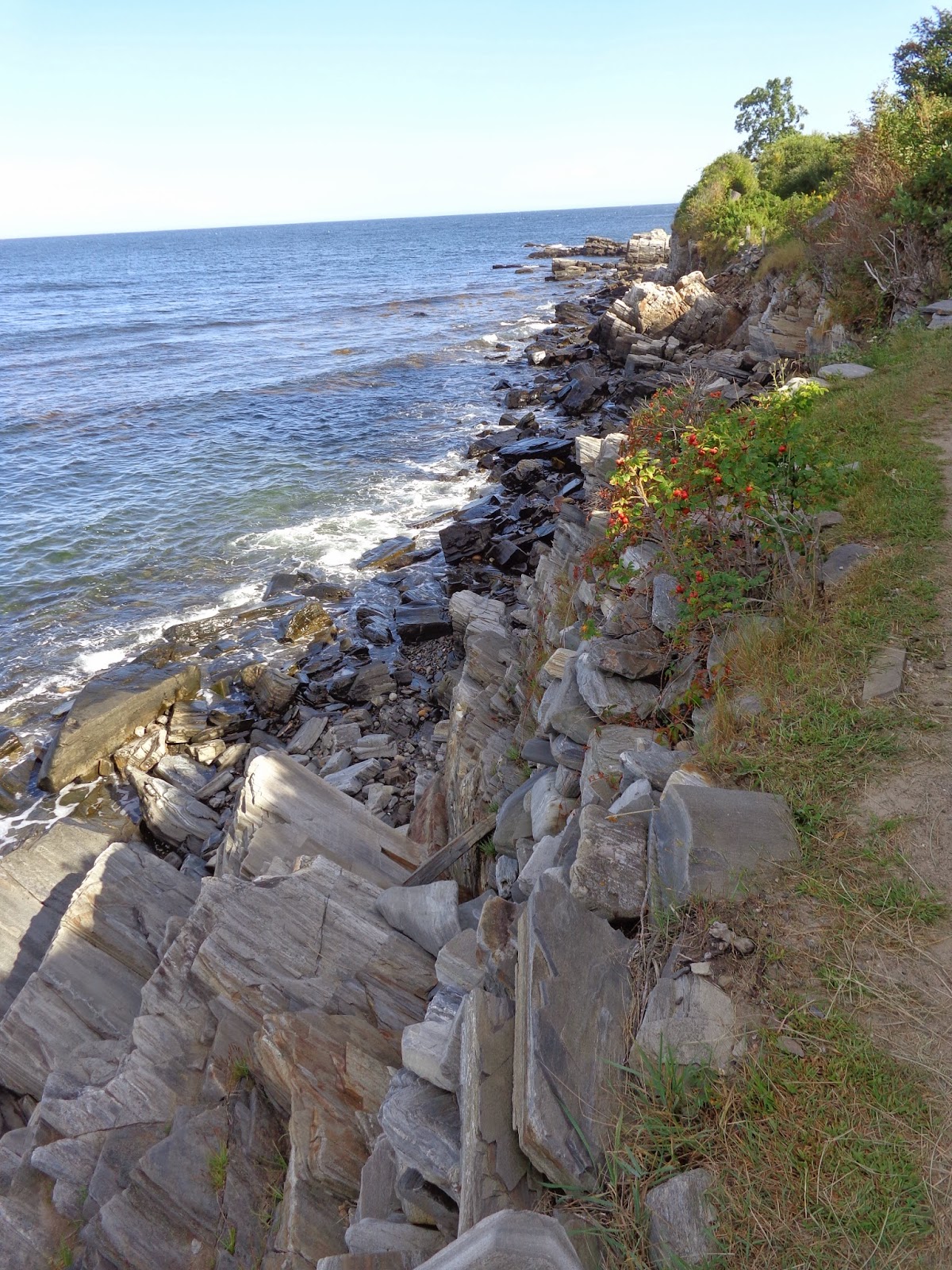 |
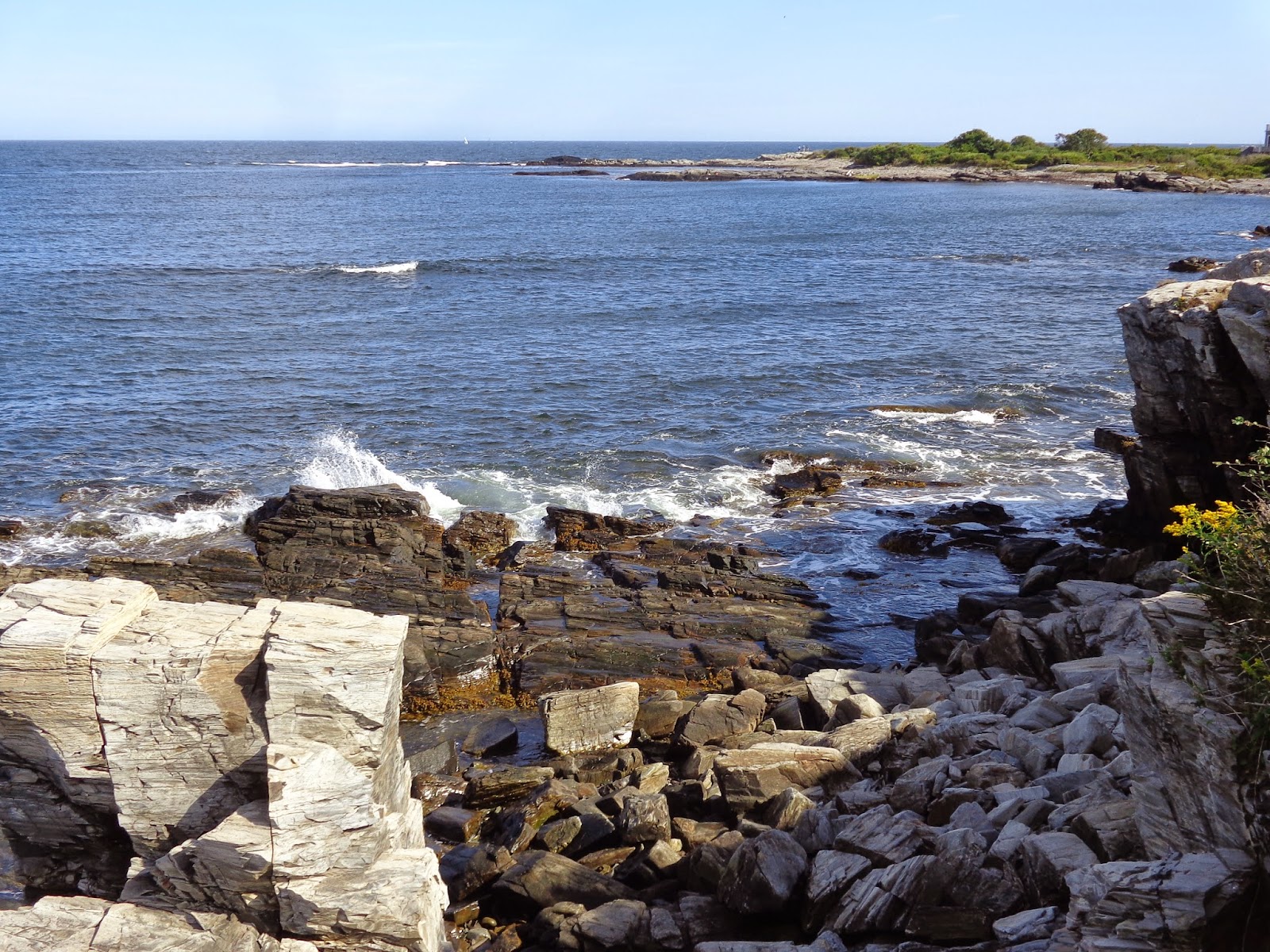
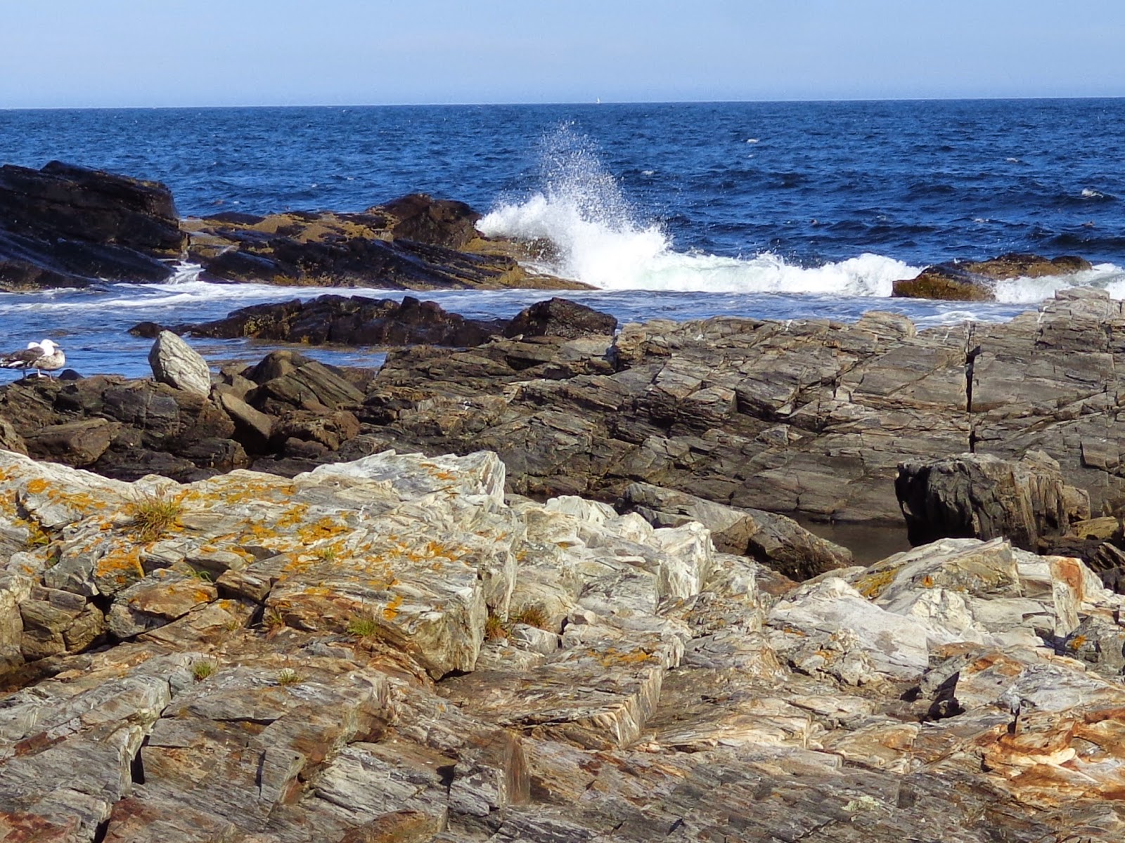
| Cliffs. |
 |
| Cliffs and rocks. |
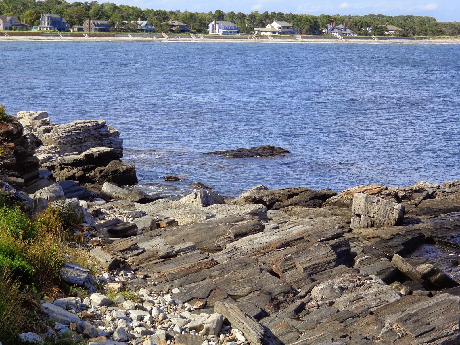 |
| If you had a house on the distant shore, you would have a fantastic ocean view. |
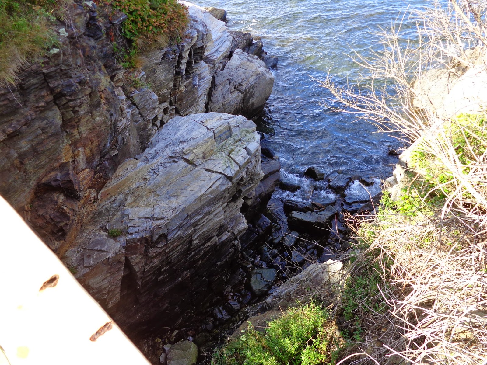 |
| We were on a little bridge looking down. It's a pretty severe drop. It would be unlikely that one would actually hit the water should they fall. |
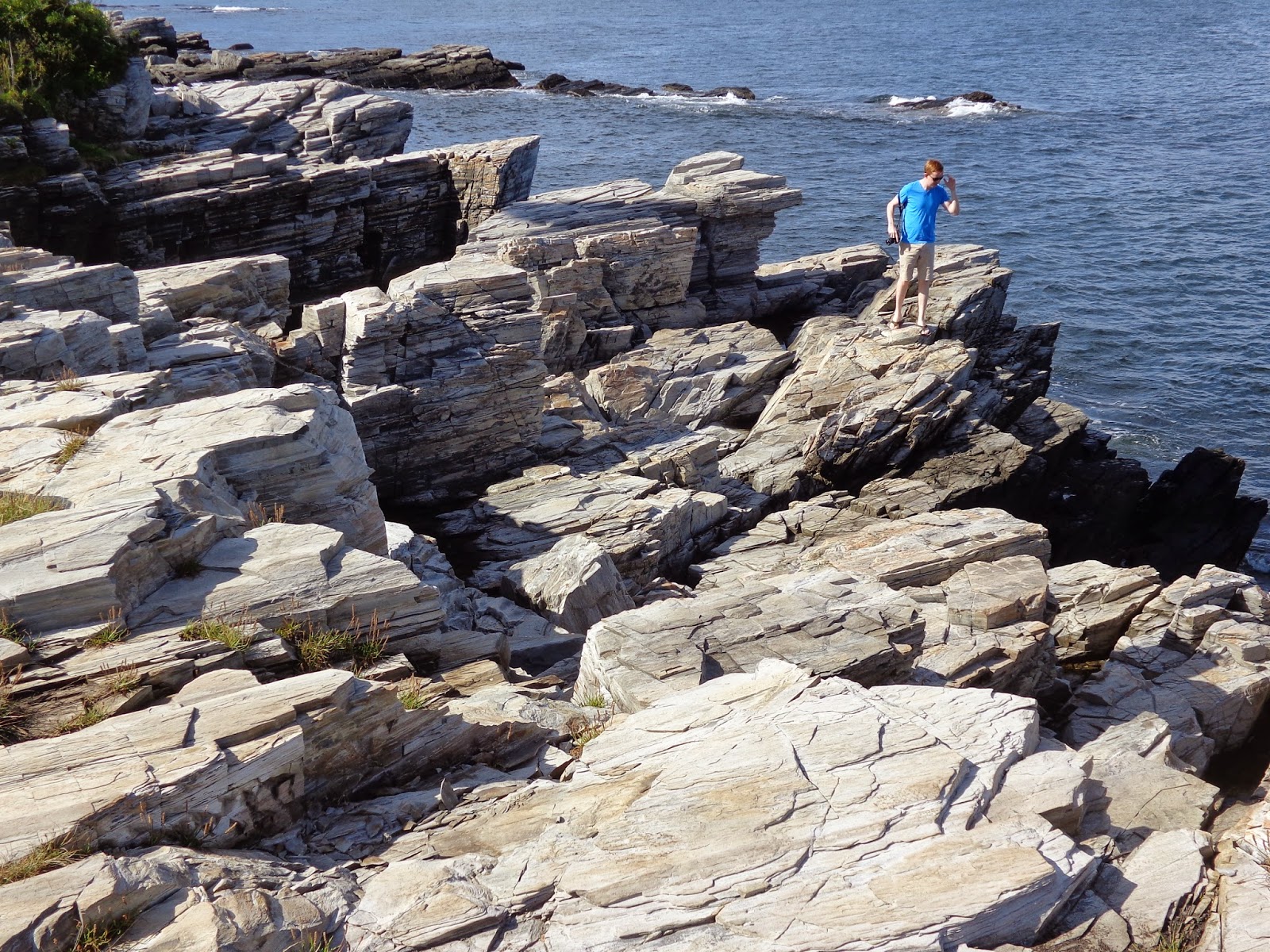 |
| Matt ventures down to an outcropping. |
 |
| That green area is another neck of land out on the end of this neck of land. |
 |
| Most of the hike around the neck put us right on the rocky shoreline. |
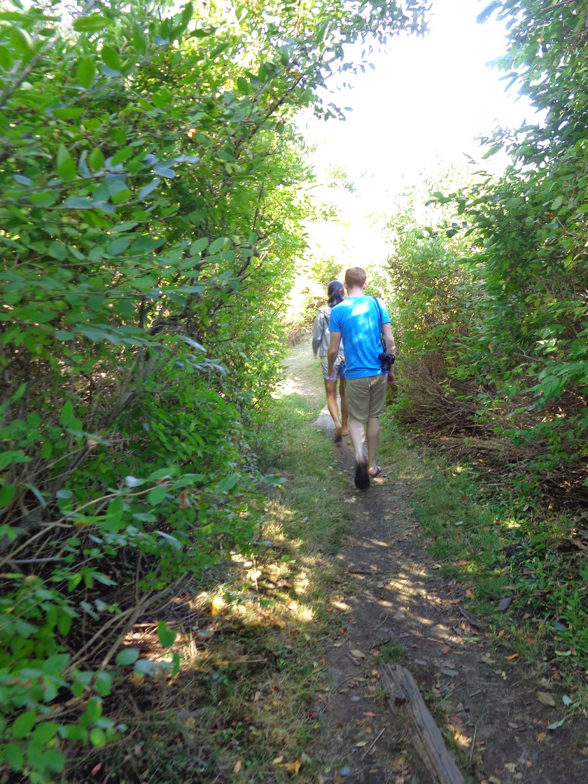 |
| But some of it was among the low scrub. |
 |
| "Splash!" |
 |
Rocky coastline.
Does this qualify as a "selfie" (see lower right corner). |
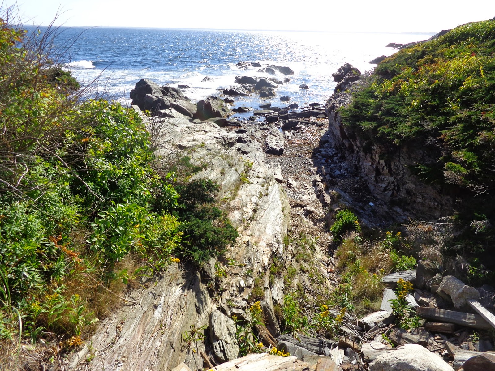 |
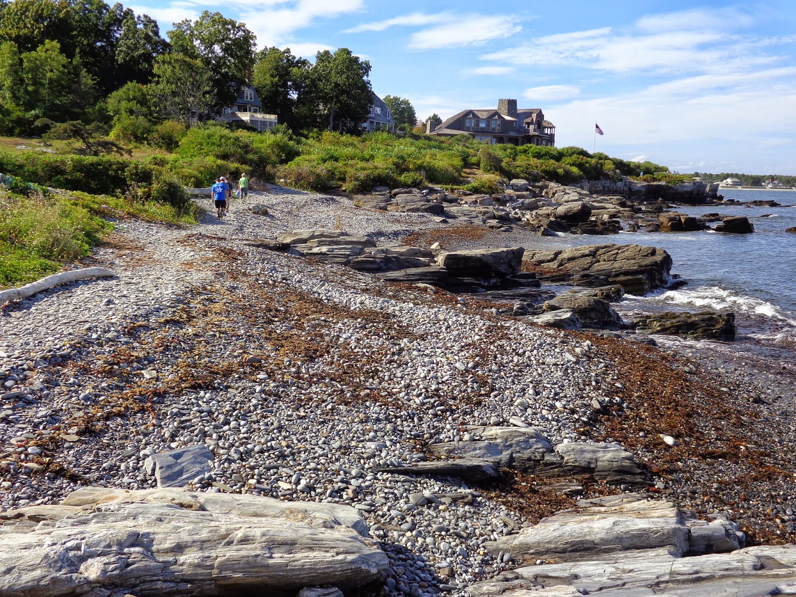
| The land has been eroded away to the path we're on. |
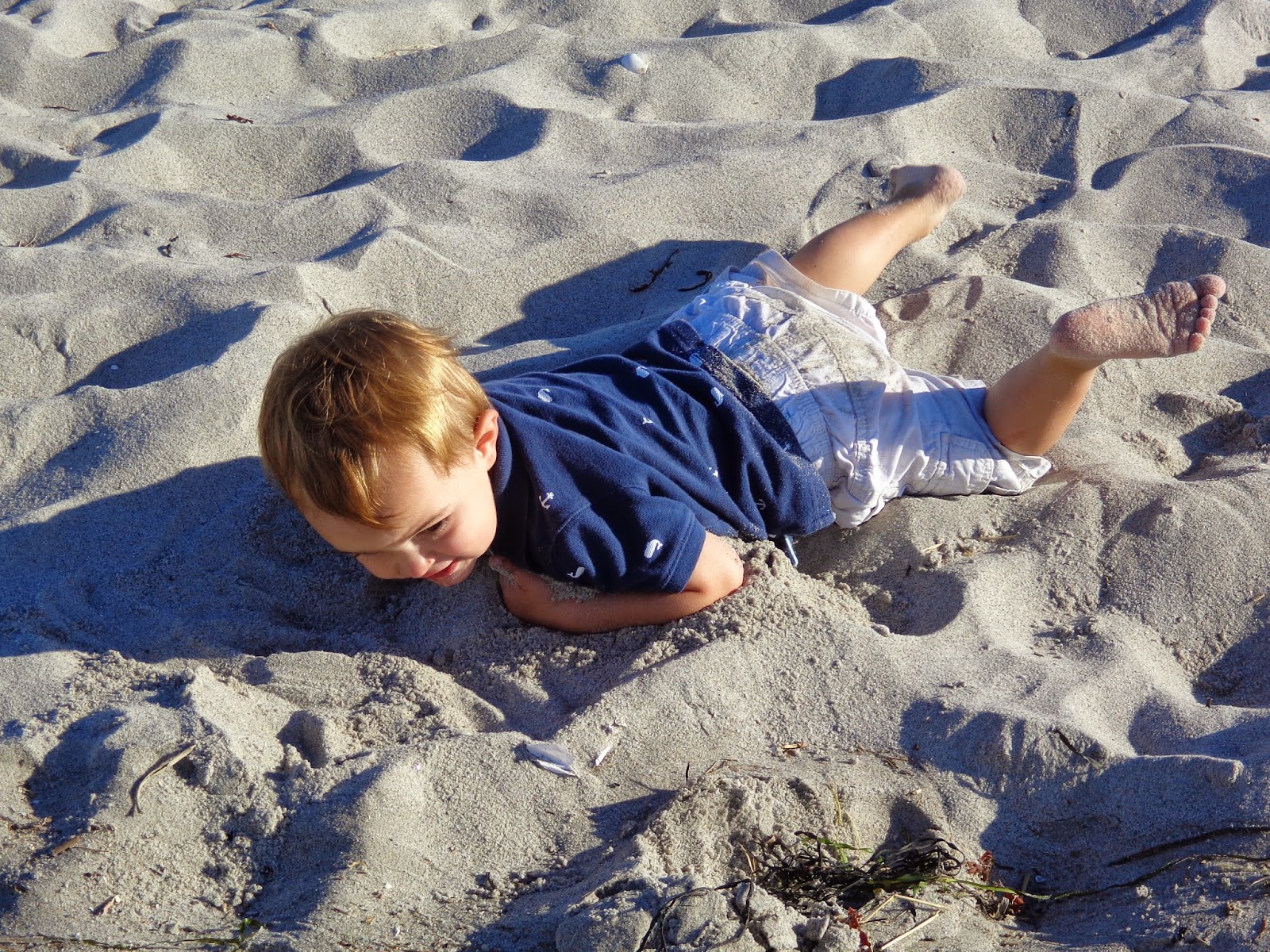 |
| We made our way back to the beach where Dominic and Betsy were playing. Dominic was practicing his "swimming" on the sand. |
|
|
Between the end of the cliff walk and the parking lot, we walked down a long sandy beach. There were kite surfers there careening across the bay. The wind was blowing them our way. I had to watch a while to see how they were getting back.
Walk stats:
Total Distance: 2.62 miles
Total Time: 1:16
Average Speed: 2.07 mph
Max altitude: 43 ft
Min altitude: 0 ft (sea level) - doh!


