For many years, I have read about what a treasure the
East Bay Bike Path is in nearby Rhode Island. It is a true
rail trail, and I have seen it written up numerous time in publications from the
Rails to Trails Conservancy, a non-profit I have been a member of since 1997. I have seen this trail while paddling in Narragansett Bay, but have never had to opportunity ride on it. Today's my day.
The East Bay Bike Path was built before rail trails became "a thing". However, for it's age, it is exceptionally well maintained and riding it end to end is an enjoyable and worthwhile experience.
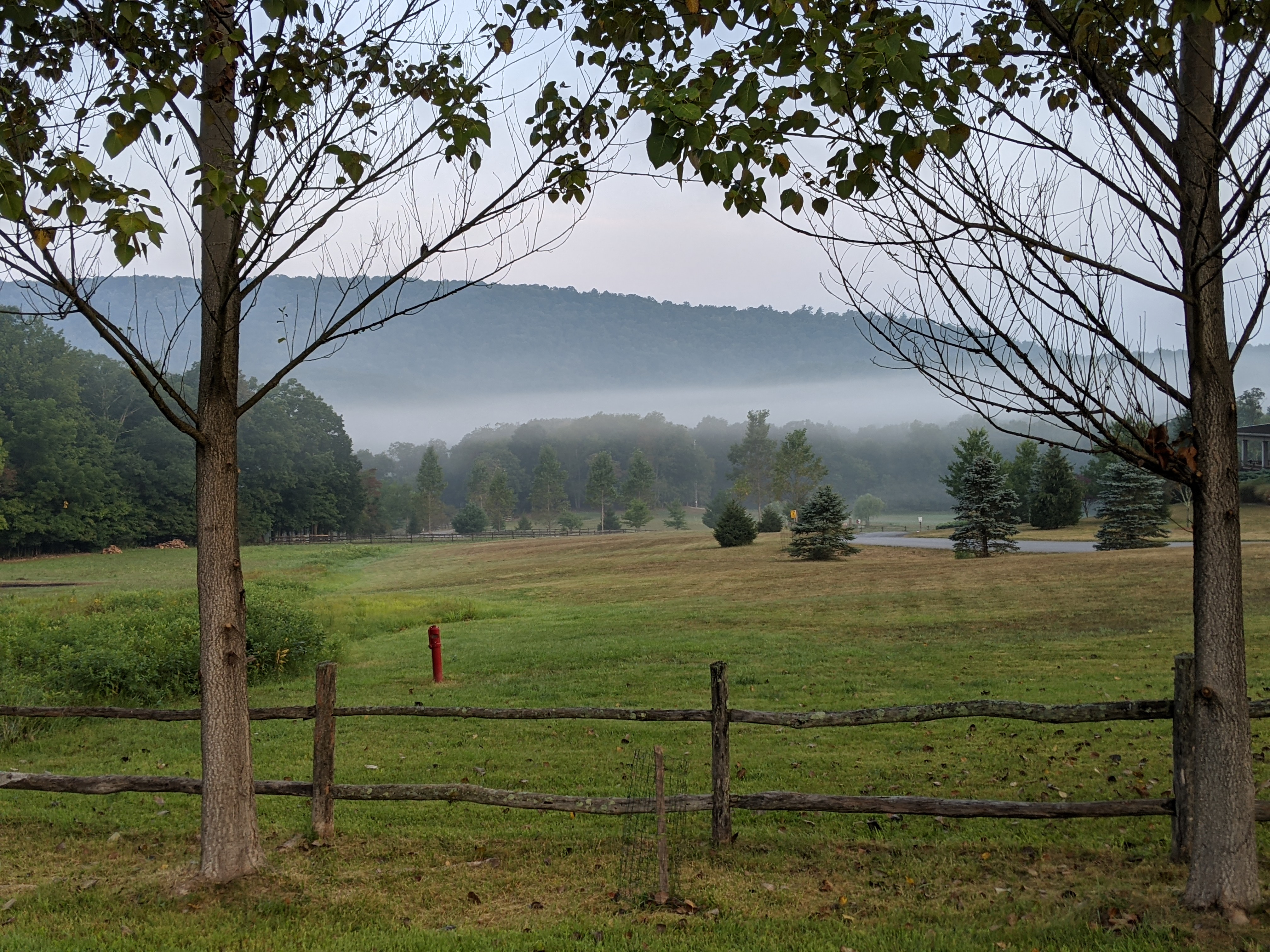
The trail begins at India Point Park in Providence, the city where Alex and Cassandra attended college. The question was, exactly where in the park? It turns our there was not a lot of helpful signage, so I asked a man walking near one of the parking lots. His directions were helpful, if not somewhat convoluted, telling me I had to "go over a hill, behind the manufacturing company, then cross that bridge" as he pointed above. Umm, ok. So I find a place to park and look for "a hill" and a "manufacturing company". Finally, I ask another casual biker and his girlfriend if they had any suggestions. He pointed me in a general direction and I followed.
 |
Ahh! Here's the entrance to the bike path. It actually wasn't that easy to find.
A quick switchback up the hill, behind the hotel, then over the Washington Bridge spanning the Sekonk River which also carries traffic on Interstate 195 to the Cape. |
 |
Meanwhile, the trail goes
roadside for a little while. |
 |
I'm over the bridge and now I'm confused.
The Blackstone River Bikeway is supposed
to connect to this bike path, but to my
knowledge, it's not yet complete
into Massachusetts.
|
 |
| I remember seeing this industrial area when it paddled up the Woonatocket River into Providence. |
 |
| This is sort-of a "bay cabana" connected by a causeway to the "big house" out of frame to the right. |
 |
I've seen this lighthouse before, but from the water back in 2016.
It's really beautiful on a sunny day like today. |
 |
The bike path winds through 5 towns in it's 14.5 miles:
Providence, East Providence, Barrington, Warren, and Bristol.
What I didn't realize until the way back was the the mileage accompanying the town abbreviation ("Barr" = Barrington), actually counted DOWN so it told me how far I had to go to get to the end.
|
 |
In Bristol, the path runs right along the bay for spectacular views.
The trail ended a little further on at Independence Park. I rested there for a while and chatted with a guitarist and his wife who were doing an impromptu performance. |
 |
The views from the park were great.
Behind me, you can see plenty of moorings in this protected part of the bay. |
 |
I forgot to mention there were two detours off the bike path due to bridges in need of some serious repair. A fellow biker told me that they've been out a year and a half because "it's Rhode Island".
This detour took me back into town and over a road bridge. |
 |
The broken down bridge is in the background. At this hour, the tide was going out.
Even in this still photo, you can get a sense of the rushing water around the bridge supports. |
 |
There were a lot of sections of the bike path they resembled sections of the Cape Cod Rail Trail:
not adjacent to the water, but winding through lush woodlands. |
 |
| There are multiple parks accessible directly from the bike path. This is Haines Memorial State Park in Barrington. At this point of my ride, I needed a little food break, so I stopped for a couple granola bars. You can see that there's water in the distance a couple hundred meters behind me. |
 |
| Indeed, this is a great boat launch with ample area to park. Maybe it'll be a kayak put-in in the future? |
 |
| Heading back north, one can get a really good view of downtown Providence. |
My total distance today was 30.11 miles in a time of 2:55 (including breaks). Most of the time I was traveling between 12-15 mph. My tracker also said I did 1111 feet of elevation, but that's a little hard for me to believe.
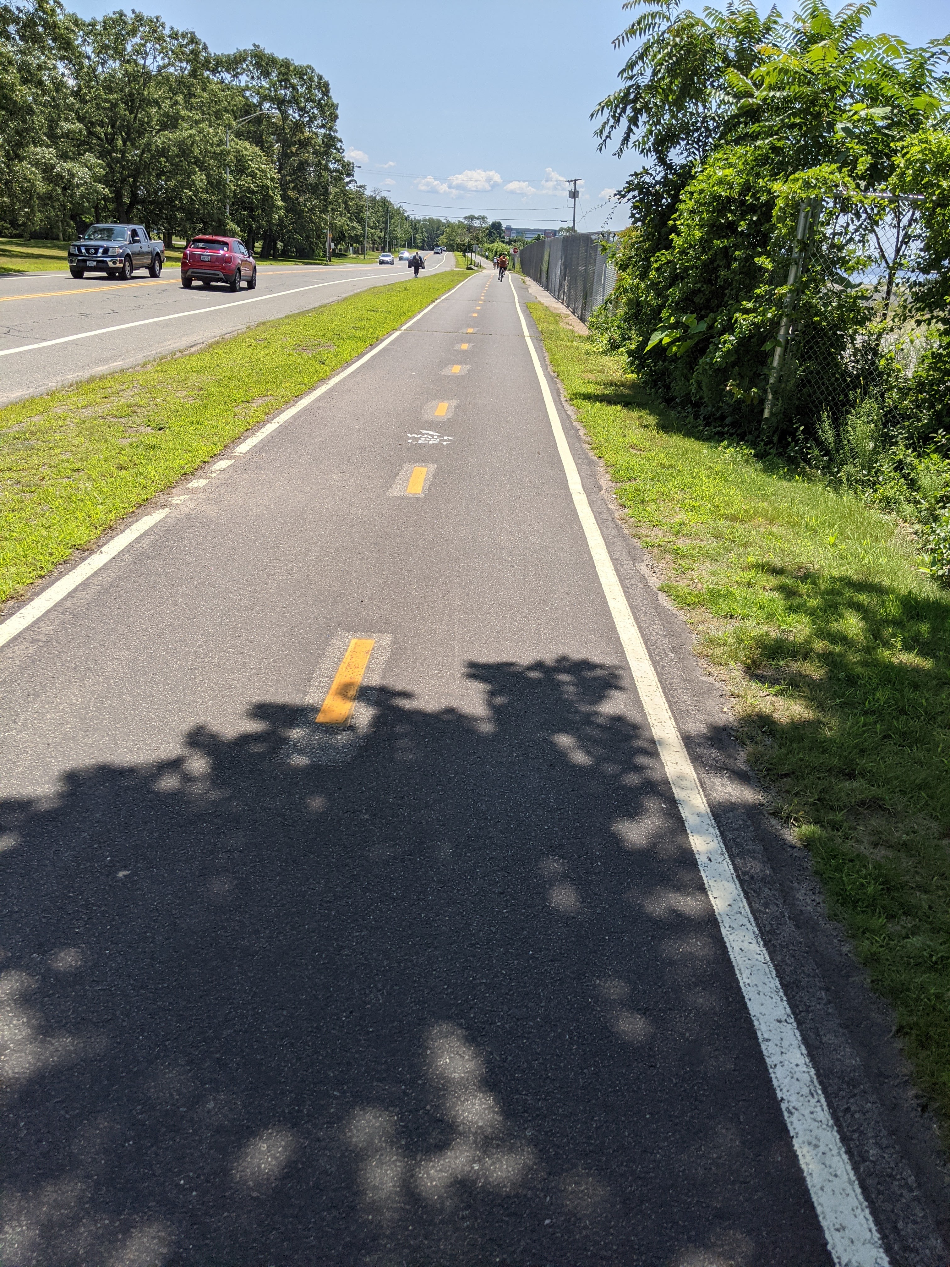
If you venture onto this bike path, be aware that it is a very popular place to bike, walk, and roller skate. Walkers stick to the "left" lane, so you have to be careful not to run them over as you're heading toward them. Being close to populated areas, I think there are a lot of casual bikers on this trail, as evidenced by majority of people not sporting a bike helmet. In any event, enjoy!