Sunday, July 30, 2023

Trustees - Jewell Hill

It's Sunday in the summertime.  Betsy is busy, but my mom is available, so I encourage her to join me on a hike at a local Trustees area that I have been wanting to go to for a long time:  Jewell Hill in Ashburnham.  As we're driving up the rather challenging country roads, my Mom inquires:  "Have you been here before?"  My response, "What's the fun in that?"

We check the map.  It's not overly challenging, so we should be able to make it to the top of the hill.

This property is an old farm with lots of wide open fields.
Following the trail map, we choose the most gradual ascent to the summit of Jewell Hill.

Near the top, the trees are a little shorting giving a fine view to the north.

To the east, the view is even better.

Mom takes in the view from a bench conveniently located at the top.

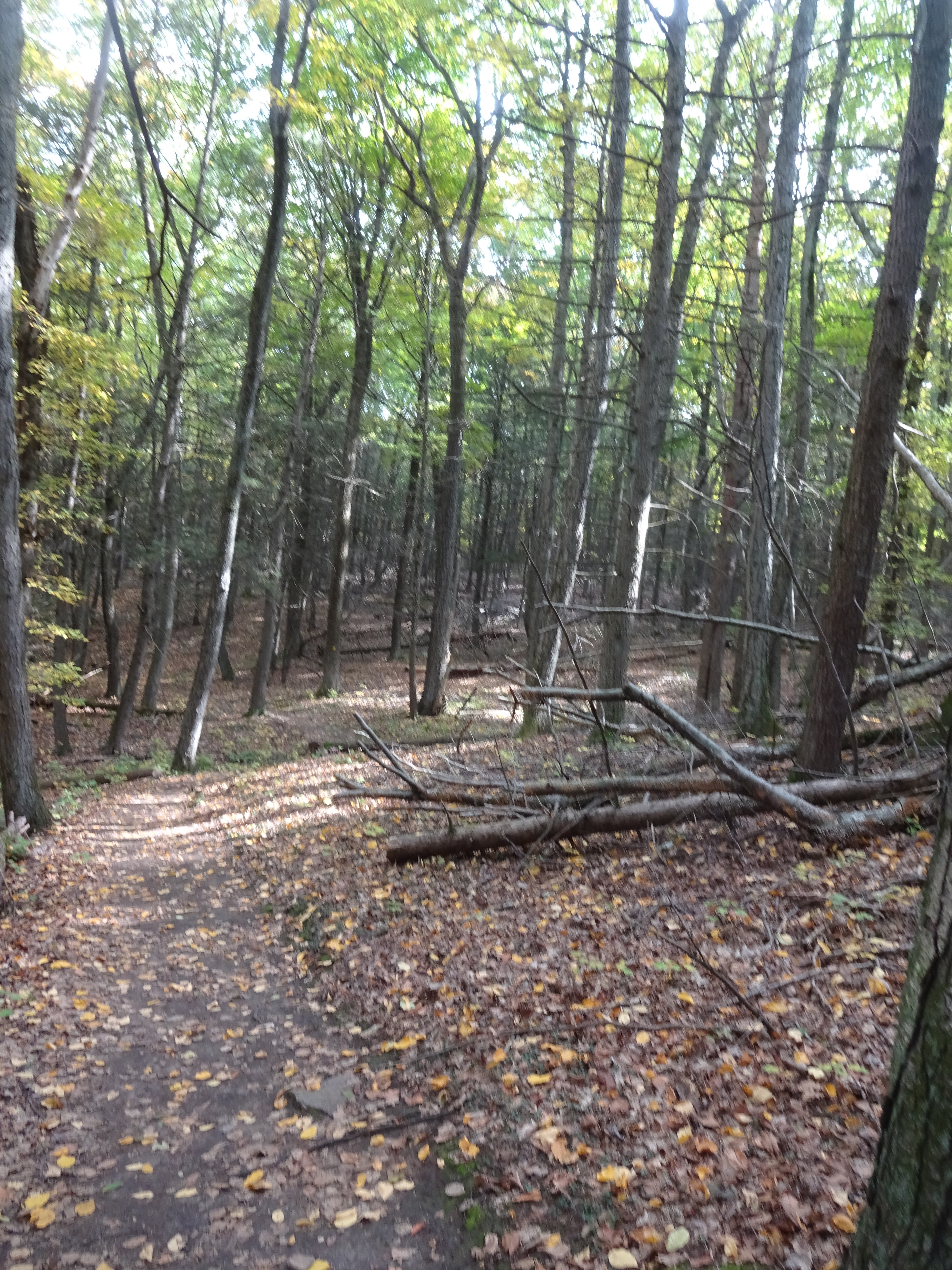
Here's the requisite shot to show I was actually hiking here, too.  Note the trail condition is very good.

It is very common to find stone walls in the middle of the woods in Central Massachusetts,   
This hails back to the 19th century where the entire landscape was cleared as farmland.

Coming down the mountain, we heard "machine noises". 
This tractor was mowing the grasses of the surrounding fields.
Big circles.


Almost made it back.  Look this is almost the same picture as the one at the beginning, except that there are trees in the background, not farm buildings.

Here are today's stats.  A nice walk, with a nice view, on a nice day.

  • Distance
    1.45 mi
  • Elev Gain
    271 ft
  • Time
    34m 19s

Saturday, April 29, 2023

AMC Paddle: Contookcook River

I always enjoy the Spring run down the Contoocook River, just north of Peterborough, NH.  Check out the last time I did it in April 2018 for comparison.   Today's trip was unlike any of my previous experiences on this river.  Yes, we had the same great leader and some of the same people, but it was the river itself that made for a different experience.  

To start with, the weather was looking a bit showery.  As I listened to the updated weather forecast on the drive up, I actually thought that the raindrops might hold off until we would be finished.  Not to be.  This caused a couple participants to cancel at the last minute.  We still had a good contingent however:  8 people in 4 canoes and 3 kayaks.

What made this excursion a bit more challenging were the portages we had to overcome.  There were two.  The first one was quite complicated caused by a huge log jam in the main part of the river.  The second was not as impressive and more typical, although we used a chain saw to push our way through some of the denser brush.  Read on for more details.

We meet the EMS main store on Vose Farm Road, just off NH 124, but then headed south to the put-in to drop gear, and shuttle cars.


The trip starts off simply enough.  Load up the boats and pull them down to the river.
I always take my yellow Pungo on the rivers for better maneuverability.

Looking upriver, we have a bit of current, but nothing unexpected.  There was no actual rain, until the minute we started paddling.  Good timing.

One in our number warned of a big tree down on the river that almost completely spanned the river.  As it turned out, we managed to squeeze by hugging the right bank very closely.  No mishaps.  Yay.

Our next challenge was that huge lug jam I mentioned, just another 15 minutes downstream.  Here is a picture of it from the other side (after the portage).


To give you a little better idea of how big this log jam was, here's more map detail.  
The "squiggles" in the lower right shows our trapsing back and forth to extract boats from the river and deposit them past a sand bar into more "free" water.

The actual log jam is directly across the water from where these guys are portaging the boats.

We pulled the boats across the brush the this sand bar.  We will be able to put back in here in the shallow water and follow the river around to the left.

But first we have to run back and forth a couple more times to get all the boats.

So once we're around that corner, we're free and clear, right?  Not so fast.  There are still smaller trees that we have to cross over, but with a little speed, they're not to bad.

Past that, it looks like we are ready to resume our trip.  But wait, this is our lunch stop, just a couple hundred feet after we put it (see map again).

After lunch, we're ready to go again. 
Our leader assures us that the rest of the trip should be "less eventful."

Well, maybe "less" but not devoid of events to be sure.  If you take one more look at the closeup map, you can see that we had a second portage right after navigating the oxbow in the river (additional "squiggles" in the lower left).


Here we go again, hauling the boats overland.  I thought the point of paddling was to stay on the water?

Finally, it looks like we're finally have some easier going.  Every once is while a rock still peeks up from beneath the water's surface, but for the most part, it actually is "less eventful."

I was thinking that we were more than half done by this point, but as it turns out all the "events' happened in the first third of the trip.  There was a lot of paddling yet to do.

Connie was running "sweep".  Thank  you for this shot that proves
it really is me paddling down the river.

It rained intermittently on this trip, but only while we were on the water.  A couple of times the skies actually brightened and it almost looked like it was going to get sunny.  Almost.

I love the stats for this excursion.  The significant difference between the "moving time" and "elapsed time" tells it all.  Portages really slow you down.
  • Distance:  8.19 miles
  • Moving time:  2:40
  • Average speed:  3.1mph
  • Max speed:  7.4 mph
  • Elapsed time:  4:30


Sunday, November 6, 2022

Angelito Falls

This is our second trip to El Yunque National Forest in Puerto Rico this year, but this time we actually get a chance for a little hike.

It does not look like a particularly strenuous hike, so even in sandals it's not going to be too difficult.


We don't have a paper map, so it's always a good idea to snap a photo in case it's needed.

This was a really neat bridge overlooking a feeder brook.


In no time at all we're down to the river.  There are lots of rocks to hop over to get closer to the water, and thankfully, there is quite a bit of water flowing.


Everybody's working their way out a little bit.  I have sport sandals so I don't mind if my feet get wet.

Upstream is where all the action is.  If you look carefully you can see swimmers up in a pool near the falls.

There's lots of sunshine and Betsy finds a plant to act as a natural sun shade.

I only turned the tracker on one way, but the stats for that were:  0.42 miles elevation gain 95' in a little under 12 minutes.  Piece of cake!  Now off to the next adventure.

Monday, October 10, 2022

Mount Warner

It's Columbus Day, and I am blessed to have the day off.  That has been rare in my career; I think there was only one other company I worked for that gave us this holiday.  In any event, I'll take it and make a day of it.  Unfortunately, Betsy doesn't have the day off, so I'll hit the road solo.

Today, I plan to check off another Trustees of Reservation property from my list.  The drive isn't too bad:  only a little over an hour to North Hadley (just west of Amherst).  However, using Google Maps to navigate this time was not the best idea.  I wound up on a "direct" dirt road, that as it turns out was not very direct anyway.  I will have to be more judicious in my acceptance of the recommended driving route.

This Trustee property is not particularly large and the trail system allows one to cover most of it.

At some point there was a pretty big wind here.  Multiple trees were blown down, but fortunately some trail maintenance made it easy for travelers to continue to use the trail.

Glacial erratics such as this one are not uncommon
in the forests of New England.


I was able to actually find the top of Mount Warner. 
This USGS marker verifies this.

However, the view from the "top" of the mountain is hardly anything to write home about.
Over the years it has become completely overgrown.

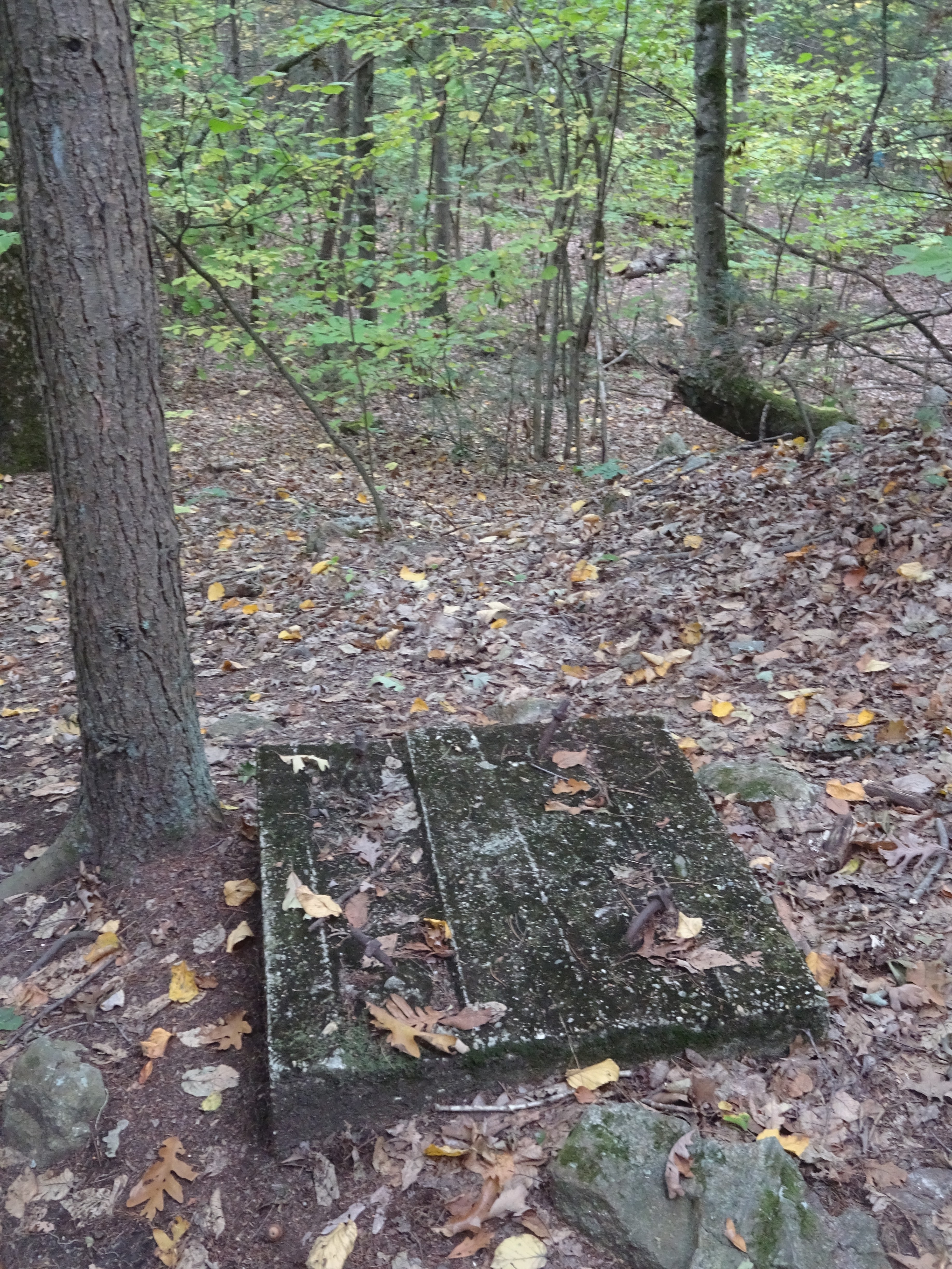
I snapped this photo and puzzled over what this concrete near the top of the mountain could have been.
Later I discovered that it was a footer for the fire tower that formerly stood on this site.

Interpretive signs are actually a rarity at most Trustees hiking trails.  This one was very good explaining about how this entire area is a vernal pool - an area that is often filled with water during the spring season.

On the way back to the car, I noticed these water towers over my right shoulder. 
I suspect they are drinking water supply for the town of Hadley.

A nice morning hike:  2.21 miles, 304' of elevation in 52 minutes.  But there's work to be done - time to help Alex backfill his new driveway :)


Monday, September 19, 2022

AMC Paddle - French River

This is a great early season paddle.  I have done it in the past, I didn't expect any surprises.  Also, I have paddled with the leader, Elaine, many times as well as a couple others on the trip.

This is a shuttle trip.  We put in at the dam, eat lunch along the way, and end up by the railroad tracks.

It's a warm day.  The sun is shining and the water should not be too cold.


Getting ready at the put-in.  We're on a river, so I'll be taking the yellow boat (Pungo 120) today.

Waiting for everyone else to get in the water, you can see the put in.  The dam is made of earth and rocks and the road rides along a bit higher to the top (out of frame).

There were some tricky trees to navigate through.  I even bottomed out a little on a couple of trees across the river.  We haven't had a lot of rain, but we have enough water to paddle.

This actually isn't an obstacle, but a tree thinking about falling into the river.

Lunchtime!  A nice spot with a little bit of shade.

Honestly, I can't remember why I took this picture.  I am not sure if we to go through this mess, but it seems the most likely scenario.

Not much to see after that point. I remember the railroad tracks. Our total time on the water was 3.44, but we took a long lunch break in there and covered a total of 6.22 miles. A good day.

Sunday, September 18, 2022

Rail Trail Bike Rides - Concord & Ayer


September 10, 2022 10:00

Although most of my bike rides are with the Worcester or Boston AMC chapters, it's fun to ride with friends when the opportunity presents itself.  Kate ant I have biked together before, back in 2019 for the 45 mile Hub on Wheels in Boston.  Since there was organized ride this year, we opted to get together and ride the Bruce Freeman Rail Trail.  Eventually, this trail will extend further south and connect with the Assabet River Rail Trail.  

I have biked part of this trail before with Troop 11 from Nara Park in Acton up to an ice cream place in Chelmsford center (with Mr. O, there has to be an ice cream place).  Last week, Kate did this whole 30 miles of the trail with another friend and we weren't going to do any less today.  I was uncertain about the bridge over Rt 2 because its official opening isn't until November.  However, Kate assured me that walking around the construction vehicles was a piece of cake.

We met the parking lot just down the road from MCI Concord.  The weather was very nice with a forecast for a high of 82.

I forgot to take any photos, but suffice it to say, our riding statistics were pretty impressive:

Distance:           31.17 miles
Moving Time:   2:27
Elevation:          441'
Avg Speed:        12.7 mph
Max Speed:       33.4 mph
Elapsed Time:   2:41

September 17, 2022 10:15

Since Kate took me on a "new" rail trail last week, it was my turn to take her on "new" rail trail this week.  I consider the Nashua River Rail Trail my "home" bike trail and Kate has never made it out past I-495 to go biking.

I act as the tour guide today and show her all the highlights:  the Buckingham bus company's lot in Groton, the bridge over Rt 225, the ice cream store in Pepperell center, and the New Hampshire state line.

Things have changed since the last time I've been to the end of this trail.  Instead of just ending on a road in Dunstable, the trail has not extended all the way to 94 Gilson Road in Nashua, where there is a small recreation area and parking lot.


Kate finds a great rock to rest on overlooking a pristine pond.


Here's the required selfie, to prove to you that I made this ride as well.  

This ride was a little shorter than last week's, but with fewer people to navigate around on the trail, our average speed was actually higher.

Distance:          25.12mi
Moving Time:  1:52
Elevation:         243'
Avg Speed:       13.4mph
Max Speed:       35.9mph


Thanks Kate for a couple great rides.  With the change of seasons, I'm not sure we'll have another chance to get out this year, but you never know.