 It's Columbus Day, and I am blessed to have the day off. That has been rare in my career; I think there was only one other company I worked for that gave us this holiday. In any event, I'll take it and make a day of it. Unfortunately, Betsy doesn't have the day off, so I'll hit the road solo.
 Today, I plan to check off another Trustees of Reservation property from my list. The drive isn't too bad: only a little over an hour to North Hadley (just west of Amherst). However, using Google Maps to navigate this time was not the best idea. I wound up on a "direct" dirt road, that as it turns out was not very direct anyway. I will have to be more judicious in my acceptance of the recommended driving route.
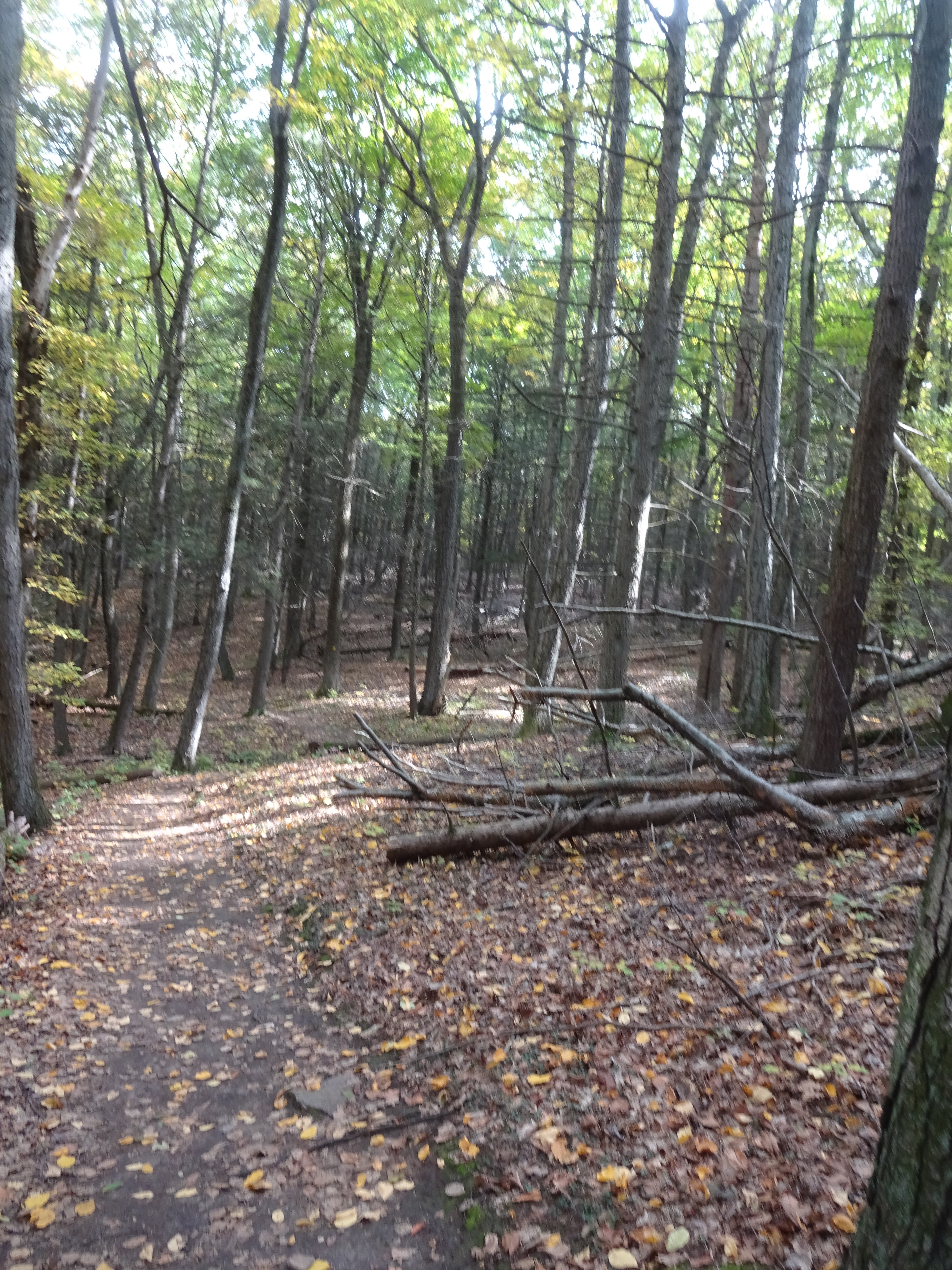 |
| At some point there was a pretty big wind here. Multiple trees were blown down, but fortunately some trail maintenance made it easy for travelers to continue to use the trail. |
 |
| Glacial erratics such as this one are not uncommon in the forests of New England. |

 |
| I was able to actually find the top of Mount Warner. This USGS marker verifies this. |
 |
| However, the view from the "top" of the mountain is hardly anything to write home about. Over the years it has become completely overgrown. |
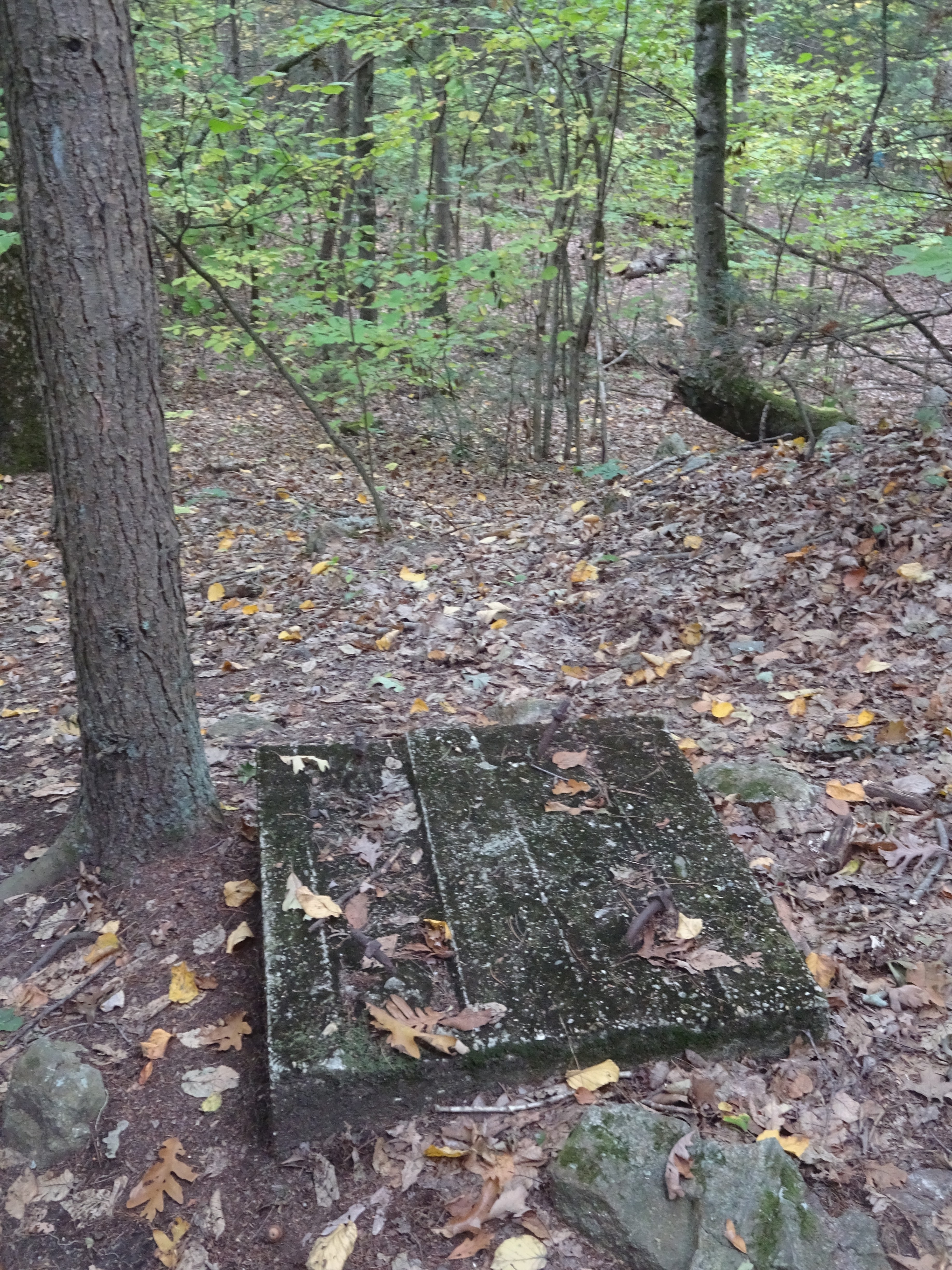 |
| I snapped this photo and puzzled over what this concrete near the top of the mountain could have been. Later I discovered that it was a footer for the fire tower that formerly stood on this site. |
 |
| Interpretive signs are actually a rarity at most Trustees hiking trails. This one was very good explaining about how this entire area is a vernal pool - an area that is often filled with water during the spring season. |
 |
| On the way back to the car, I noticed these water towers over my right shoulder. I suspect they are drinking water supply for the town of Hadley. |
A nice morning hike: 2.21 miles, 304' of elevation in 52 minutes. But there's work to be done - time to help Alex backfill his new driveway :)